
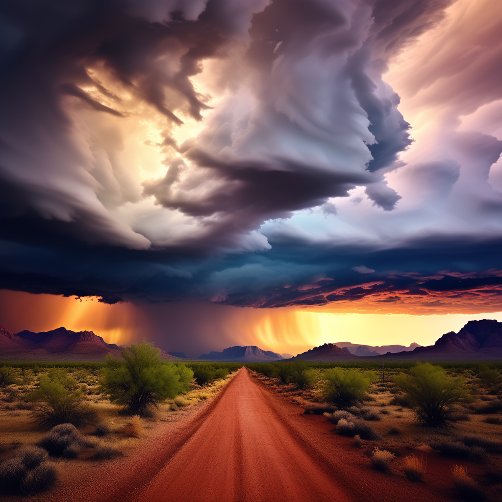
A forthcoming Pacific storm system hovering off the southern Californian coast is poised to bring substantial rainfall to Green Valley, Sahuarita and surrounding areas in Arizona, starting on Friday. The National Weather Service (NWS) in Tucson has outlined a forecast of expansive rain coverage, the likelihood of snowfall in elevated mountainous regions, potential flooding, and the chance of hail.
Weather Forecast Overview
NWS Forecaster Gary Zell, in a winter weather briefing held on Thursday, highlighted that the onset of rain is expected locally on Thursday evening, persisting through Friday. The most intense downpour is anticipated during Friday afternoon and evening, with a significant 100% probability of rainfall in Green Valley.
Zell also mentioned the potential occurrence of isolated thunderstorms embedded within the rain system on Friday, along with a marginal risk of experiencing hail, possibly ranging from pea to dime size.
Precipitation Estimates and Snowfall Projections
Specific estimates have been provided for the Green Valley area, which is anticipated to receive between 1 to 1.5 inches of precipitation between Friday and Saturday.
In the mountainous regions, snow accumulation is projected to range from one to five inches at elevations between 7,000 to 8,000 feet, and a more substantial accumulation of five to 13 inches above 8,500 feet. Mt. Wrightson, standing at 9,456 feet, falls within the higher accumulation range.
Implications and Precautions
Given the forecasted intensity of the storm, the potential for flooding in low-lying areas must not be overlooked. Residents and authorities are advised to remain vigilant and take necessary precautions to mitigate any flooding risks. Additionally, the possibility of hail poses concerns for property damage, urging individuals to safeguard their belongings.
Conclusion
The impending Pacific storm system looms as a substantial weather event for Arizona, heralding widespread rainfall, snowfall in mountainous terrains, and the likelihood of hazardous conditions such as flooding and hail. Residents are encouraged to stay updated on local advisories and prepare accordingly to minimize any adverse impacts from this impending weather phenomenon.
Sources:
- National Weather Service (NWS) Tucson
- Official weather briefings and forecasts from NWS
- Meteorological data on precipitation and snow accumulation


Leave a Reply